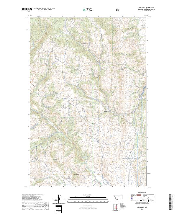
2024 Map of Giant Hill
USGS Topo · Published 2024About this map
Helena National Forest dominates this section of Broadwater County, where the high ridges of the Elkhorn Mountains meet the rolling foothills of the Ng Mta Limestone Hills. The small settlement of Hassel sits at the nexus of several canyon drainages, illustrating the historical pattern of mountain-edge communities organized around water sources like Cold Spring and McCuan Spring. The landscape is defined by its complex hydrology, with numerous named gulches such as Ribedeau Gulch, Whipcracker Gulch, and Power Gulch feeding into larger systems like Crow Creek. Significant landmarks like Giant Hill, Big Mtn, and Glendale Butte provide distinctive vertical relief, while the presence of the Dawdy Ditch indicates the essential role of irrigation and water management in this arid Montana environment.
Find a feature on this map
52 named features on this map. Tap any name to fly to it.
Don’t see what you’re looking for? This feature index may not catch every label — zoom into the map to look around manually.
Map Details
Editions of this 2024 Giant Hill Map
This is the sole edition of this map. No revisions or reprints were ever made.
Other maps of this area

1886 · Fort Logan
USGS Topo · 1:250,000

1948 · White Sulphur Springs
USGS Topo · 1:250,000

1949 · Radersburg
USGS Topo · 1:62,500

1950 · Devils Fence
USGS Topo · 1:62,500

1950 · Townsend
USGS Topo · 1:62,500

1950 · Clancy
USGS Topo · 1:62,500

1958 · White Sulphur Springs
USGS Topo · 1:250,000

1961 · White Sulphur Springs
USGS Topo · 1:250,000

1965 · White Sulphur Springs
USGS Topo · 1:250,000

1976 · Townsend
USGS Topo · 1:100,000