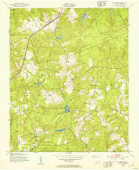
1949 Map of Gibson
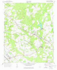
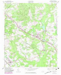
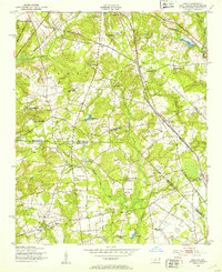
USGS Topo · Published 1978About this map
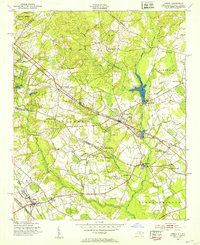
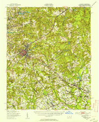
Gibson stands at the southern edge of this survey where the Seaboard Air Line railroad crosses from North Carolina into South Carolina. The landscape of the late 1940s is defined by a dense network of family-named cemeteries and rural institutions, including Peel Chapel, St Johns Ch, and Baysville Sch. Industry and water management are intertwined along the creeks, evidenced by Richmond Mill on Gum Swamp Creek and the Ida Mill Pond further south.
Find a feature on this map
69 named features on this map. Tap any name to fly to it.
Don’t see what you’re looking for? This feature index may not catch every label — zoom into the map to look around manually.
Map Details
Editions of this 1949 Gibson Map
3 editions found
Other maps of this area

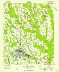
1942 · Rockingham
USGS Topo · 1:125,000
1949 · Gibson
USGS Topo · 1:24,000
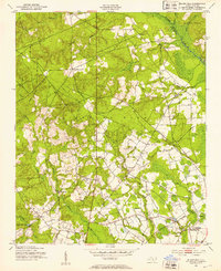
1949 · Ghio
USGS Topo · 1:24,000
1949 · Laurinburg
USGS Topo · 1:24,000
1949 · Silver Hill
USGS Topo · 1:24,000
1949 · Marston
USGS Topo · 1:24,000
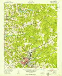
1949 · Hamlet
USGS Topo · 1:24,000
1949 · Hamlet
USGS Topo · 1:62,500

1949 · Laurinburg
USGS Topo · 1:62,500

1953 · Florence
USGS Topo · 1:250,000