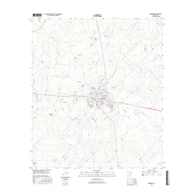
2016 Map of Giddings
USGS Topo · Published 2016About this map
Giddings serves as the focal point of this Lee County landscape, where the intersection of regional thoroughfares and a dense grid of residential streets like W Austin St and E Brenham St defines the local seat. The surrounding countryside is marked by numerous small reservoirs and family-named landmarks, such as Walter Droemer Lake and Seales Lakes south of the main settlement. Genealogy and local history researchers will find several small burial grounds scattered throughout the rural sections, including Betts Chapel Cem to the north and Noack Cem near the southern settlement of Serbin. The terrain is drained by a complex network of creeks, with Nails Cr and Rabbs Cr winding through the pastures. The presence of the Giddings-Lee County Airport and various lease roads indicates the integration of aviation and local industry into the traditional ranching and farming landscape.
Find a feature on this map
134 named features on this map. Tap any name to fly to it.
Don’t see what you’re looking for? This feature index may not catch every label — zoom into the map to look around manually.
Map Details
Editions of this 2016 Giddings Map
This is the sole edition of this map. No revisions or reprints were ever made.
Other maps of this area
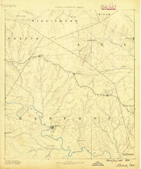
1885 · Bastrop
USGS Topo · 1:125,000
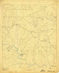
1893 · Bastrop
USGS Topo · 1:125,000
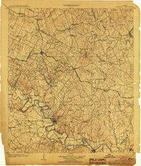
1904 · Bastrop
USGS Topo · 1:125,000
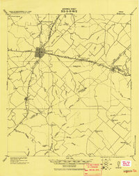
1919 · Giddings
USGS Topo · 1:62,500
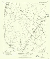
1919 · Dime Box
USGS Topo · 1:62,500
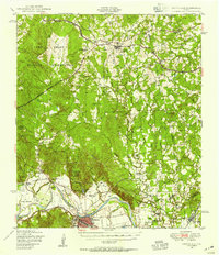
1948 · Smithville
USGS Topo · 1:62,500
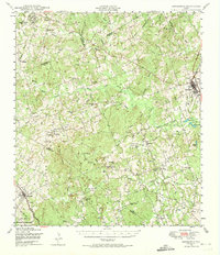
1948 · Lexington
USGS Topo · 1:62,500
1950 · Lexington
USGS Topo · 1:62,500
1950 · Smithville
USGS Topo · 1:62,500

1954 · Austin
USGS Topo · 1:250,000