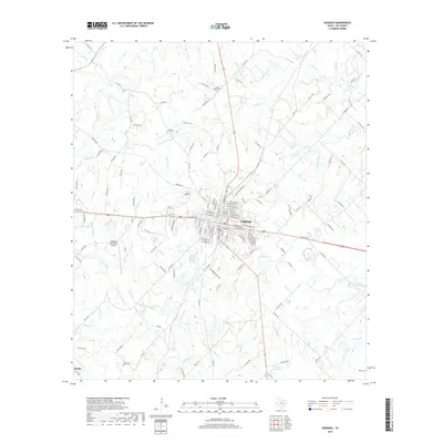
2019 Map of Giddings
USGS Topo · Published 2019About this map
Giddings serves as the focal point of this Lee County landscape, showing a detailed street grid where various highways and rail corridors converge. The town's layout is characterized by its residential and commercial blocks, surrounded by a network of rural roads such as Manheim Rd and PR 4482. To the southwest, the community of Serbin remains a significant marker of local heritage, while the presence of several family and community burial sites, including Noack Cem, Keng Cem, and Betts Chapel Cem, provides essential points of reference for genealogical research.
Find a feature on this map
143 named features on this map. Tap any name to fly to it.
Don’t see what you’re looking for? This feature index may not catch every label — zoom into the map to look around manually.
Map Details
Editions of this 2019 Giddings Map
This is the sole edition of this map. No revisions or reprints were ever made.
Other maps of this area
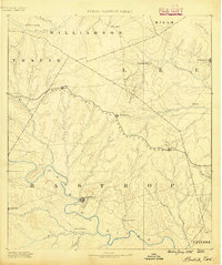
1885 · Bastrop
USGS Topo · 1:125,000
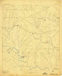
1893 · Bastrop
USGS Topo · 1:125,000
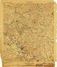
1904 · Bastrop
USGS Topo · 1:125,000
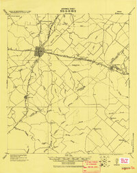
1919 · Giddings
USGS Topo · 1:62,500
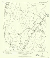
1919 · Dime Box
USGS Topo · 1:62,500
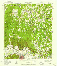
1948 · Smithville
USGS Topo · 1:62,500
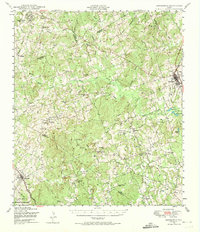
1948 · Lexington
USGS Topo · 1:62,500
1950 · Lexington
USGS Topo · 1:62,500
1950 · Smithville
USGS Topo · 1:62,500

1954 · Austin
USGS Topo · 1:250,000