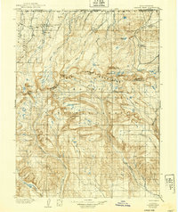
1906 Map of Gilbert Peak
USGS Topo · Published 1939About this map
The Uinta Mountains dominate this high-altitude survey, which straddles the rugged boundary between Utah and Wyoming during the first decade of the twentieth century. Within the Ashley National Forest and Wasatch National Forest, the topography is defined by glaciated basins and prominent summits including Kings Peaks, Gilbert Peak, and Mt Emmons. The landscape is a complex network of alpine watersheds feeding the Yellowstone Creek, Lake Fork, and Henry's Fork. Early twentieth-century land use is marked by isolated outposts such as Smith's Ranch and Edwards Ranch, which reflect the region's history of high-country ranching. The map captures the area before modern infrastructure arrived, showing traditional grazing sites like Gilbert Meadows and Beaver Meadows alongside natural landmarks such as Red Castle and Lake Atwood.
Find a feature on this map
39 named features on this map. Tap any name to fly to it.
Don’t see what you’re looking for? This feature index may not catch every label — zoom into the map to look around manually.
Map Details
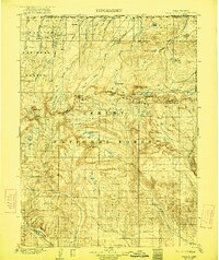
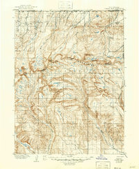
Editions of this 1906 Gilbert Peak Map
4 editions found
Other maps of this area

1885 · Ashley
USGS Topo · 1:250,000

1885 · Uinta
USGS Topo · 1:250,000

1901 · Hayden Peak
USGS Topo · 1:125,000

1903 · Hayden Peak
USGS Topo · 1:125,000

1905 · Gilbert Peak
USGS Topo · 1:125,000

1906 · Gilbert Peak
USGS Topo · 1:125,000

1906 · Marsh Peak
USGS Topo · 1:125,000

1908 · Marsh Peak
USGS Topo · 1:125,000

1917 · Vernal
USGS Topo · 1:125,000

1939 · Duchesne
USGS Topo · 1:125,000