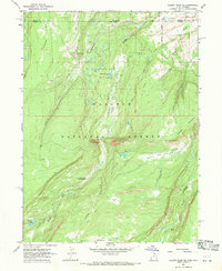
1967 Map of Gilbert Peak NE
USGS Topo · Published 1969About this map
Bridger Lake Oil Field defines the industrial footprint of this high-elevation landscape in the late 1960s, where several Oil Wells and Oil Sumps are mapped near the border of Uinta and Summit counties. This remote area, straddling the Wyoming-Utah state line, is heavily shaped by the drainage of Henry's Fork and its tributaries like Dahlgreen Creek and Sage Creek. The map documents a rugged wilderness used for both extraction and recreation, featuring the Henrys Fork Campground and several high parks, including Bullocks Park, Joulious Park, and Deadhorse Park. A network of Pack Trails provides access through the Wasatch National Forest, crossing prominent landforms such as Red Mountain and the constricted passage at The Narrows. Numerous small water bodies, such as Alligator Lake and Quarter Corner Lake, dot the terrain, illustrating the hydrologic character of this mountain region before later developments changed the backcountry access.
Find a feature on this map
27 named features on this map. Tap any name to fly to it.
Don’t see what you’re looking for? This feature index may not catch every label — zoom into the map to look around manually.
Map Details
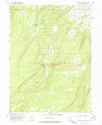
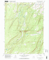
Editions of this 1967 Gilbert Peak NE Map
3 editions found
Other maps of this area

1885 · Uinta
USGS Topo · 1:250,000

1905 · Gilbert Peak
USGS Topo · 1:125,000

1906 · Gilbert Peak
USGS Topo · 1:125,000

1954 · Salt Lake City
USGS Topo · 1:250,000

1954 · Ogden
USGS Topo · 1:250,000

1958 · Ogden
USGS Topo · 1:250,000

1958 · Salt Lake City
USGS Topo · 1:250,000

1960 · Ogden
USGS Topo · 1:250,000

1960 · Salt Lake City
USGS Topo · 1:250,000
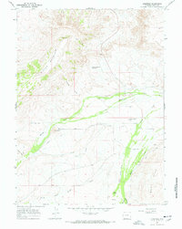
1964 · Lonetree
USGS Topo · 1:24,000