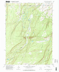
1967 Map of Gilbert Peak NE
USGS Topo · Published 1977About this map
Bridger Lake Oil Field defines the northern industrial activity of this high-altitude landscape, where numerous Oil Wells and Oil Sumps dot the terrain near the Wyoming-Utah border. South of the state line, the character of the land shifts entirely into the Wasatch National Forest, dominated by the drainage of the Henrys Fork and its tributaries like Dahlgreen Creek and Lost Creek.
Find a feature on this map
28 named features on this map. Tap any name to fly to it.
Don’t see what you’re looking for? This feature index may not catch every label — zoom into the map to look around manually.
Map Details
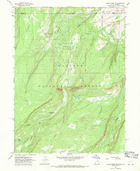
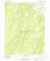
Editions of this 1967 Gilbert Peak NE Map
3 editions found
Other maps of this area

1885 · Uinta
USGS Topo · 1:250,000

1905 · Gilbert Peak
USGS Topo · 1:125,000

1906 · Gilbert Peak
USGS Topo · 1:125,000

1954 · Salt Lake City
USGS Topo · 1:250,000

1954 · Ogden
USGS Topo · 1:250,000

1958 · Ogden
USGS Topo · 1:250,000

1958 · Salt Lake City
USGS Topo · 1:250,000

1960 · Ogden
USGS Topo · 1:250,000

1960 · Salt Lake City
USGS Topo · 1:250,000
1964 · Lonetree
USGS Topo · 1:24,000