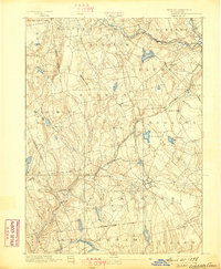
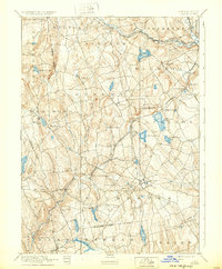
1892 Map of Gilead
USGS Topo · Published 1898About this map
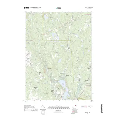
Moodus and Colchester anchor this late nineteenth-century survey of the Connecticut interior, where industrial hamlets and agricultural crossroads are connected by a dense network of early rail lines. The New Haven and Hartford Railroad Air Line Division cuts diagonally through the landscape, passing through Turnerville and serving Westchester Station. The region’s water power is evident in the development of Moodus Reservoir and Columbia Reservoir, alongside numerous brooks and rivers that supported local milling operations. Smaller settlements like Gilead, Liberty Hill, and Exeter represent the rural character of the Tolland and Hartford county borders. This survey, conducted by Henry Gannett and his team, captures the transition between the traditional New England town structure and the rising industrial influence of the railroad era.
Find a feature on this map
61 named features on this map. Tap any name to fly to it.
Don’t see what you’re looking for? This feature index may not catch every label — zoom into the map to look around manually.
Map Details
Editions of this 1892 Gilead Map
7 editions found

Historical Maps of Manchester Through Time
42 maps found

1892 Gilead
Tolland County, CT

1892 Tolland
Tolland County, CT

1921 Tolland
Tolland County, CT

1928 Long Meadow
Tolland County, CT

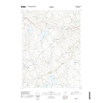
1944 Columbia
Tolland County, CT

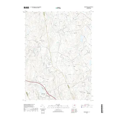
1944 Marlboro
Tolland County, CT

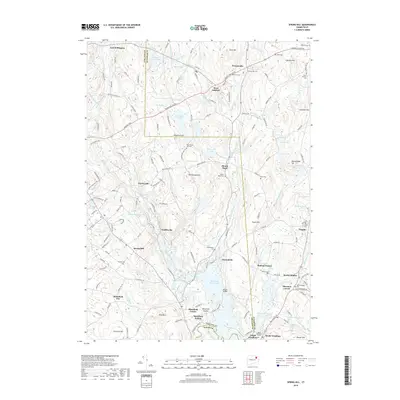
1945 Spring Hill
Tolland County, CT

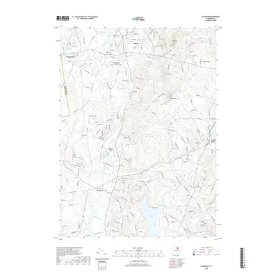
1946 Ellington
Tolland County, CT

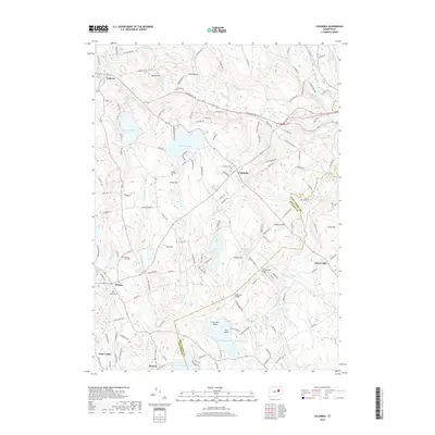
1953 Columbia
Tolland County, CT

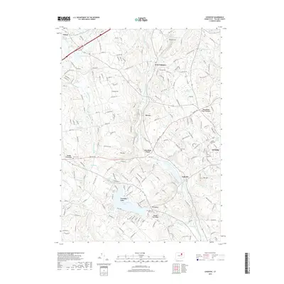
1953 Ellington
Tolland County, CT

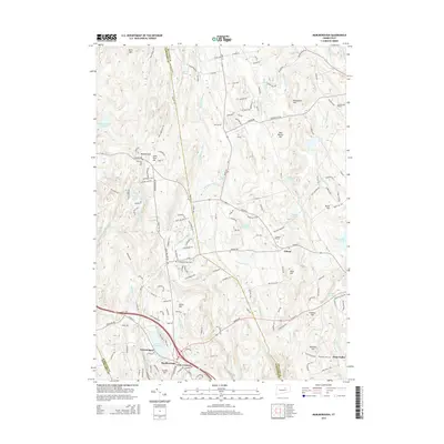
1953 Marlborough
Tolland County, CT

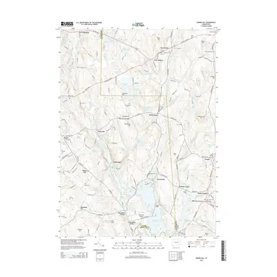
1953 Spring Hill
Tolland County, CT

1967 Ellington
Tolland County, CT

1967 Marlborough
Tolland County, CT

1983 Coventry
Tolland County, CT

1983 Spring Hill
Tolland County, CT

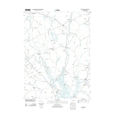
2012 Columbia
Tolland County, CT
2012 Coventry
Tolland County, CT
2012 Ellington
Tolland County, CT
2012 Marlborough
Tolland County, CT
2012 Spring Hill
Tolland County, CT
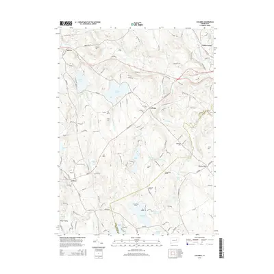
2015 Columbia
Tolland County, CT
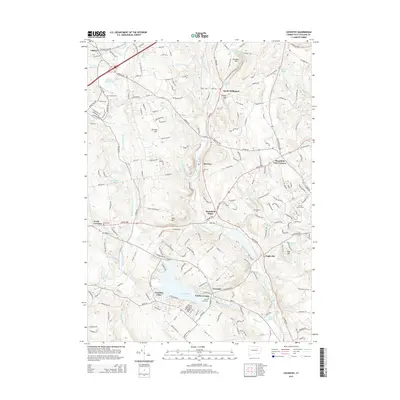
2015 Coventry
Tolland County, CT
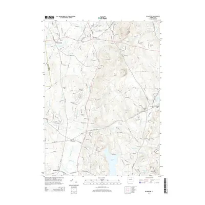
2015 Ellington
Tolland County, CT
2015 Marlborough
Tolland County, CT
2015 Spring Hill
Tolland County, CT
2018 Columbia
Tolland County, CT
2018 Coventry
Tolland County, CT
2018 Ellington
Tolland County, CT
2018 Marlborough
Tolland County, CT
2018 Spring Hill
Tolland County, CT
2021 Columbia
Tolland County, CT
2021 Coventry
Tolland County, CT
2021 Ellington
Tolland County, CT
2021 Marlborough
Tolland County, CT
2021 Spring Hill
Tolland County, CT
2023 Spring Hill
Tolland County, CT

2024 Columbia
Tolland County, CT

2024 Coventry
Tolland County, CT

2024 Ellington
Tolland County, CT

2024 Marlborough
Tolland County, CT

2024 Spring Hill
Tolland County, CT