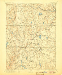
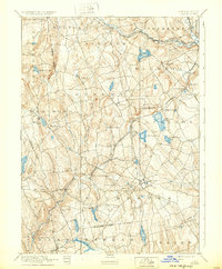
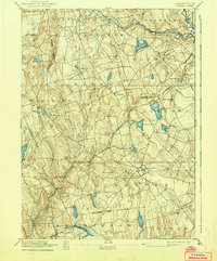
1892 Map of Gilead
USGS Topo · Published 1905About this map
The Lyman Viaduct stands as a significant engineering feature in the late nineteenth-century landscape of eastern Connecticut, anchoring the New York and Hartford Railroad Air Line Division. This rail network bisects the region, connecting manufacturing and agricultural hubs such as Colchester and Turnerville. The geography is defined by a series of north-south drainage systems, including the Blackledge River and Salmon Brook, which provided the necessary water power for the early industrial settlements found here. Small villages like Chestnut Hill, Gilead, and Liberty Hill are interspersed among the elevations of Prospect Hill and Bulkley Hill. This era captures the transition of the local economy as it moved between water-driven industry at sites like Moodus and the expanding reach of the steam-powered railroads that linked these rural Tolland and New London County communities to the wider New England markets.
Find a feature on this map
63 named features on this map. Tap any name to fly to it.
Don’t see what you’re looking for? This feature index may not catch every label — zoom into the map to look around manually.
Map Details
Editions of this 1892 Gilead Map
7 editions found
Other maps of this area

1892 · Hartford
USGS Topo · 1:62,500

1892 · Woodstock
USGS Topo · 1:62,500

1892 · Tolland
USGS Topo · 1:62,500

1892 · New London
USGS Topo · 1:62,500

1892 · Norwich
USGS Topo · 1:62,500

1892 · Gilead
USGS Topo · 1:62,500

1893 · Guilford
USGS Topo · 1:62,500

1893 · Middletown
USGS Topo · 1:62,500

1893 · New London
USGS Topo · 1:62,500

1893 · Saybrook
USGS Topo · 1:62,500