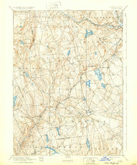
1892 Map of Gilead
USGS Topo · Published 1932About this map
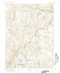
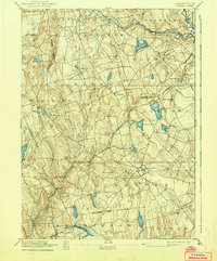
Industrial and rural networks define this late 19th-century survey of the Tolland County region, centered on the complex of water and rail that once powered the local economy. The New York New Haven and Hartford Railroad Air Line Division cuts across the landscape, crossing the notable Lyman Viaduct near Westchester Station. This era shows a landscape managed for power and transport, where the Salmon River and Hop River systems are anchored by significant water bodies like Columbia Reservoir and the Moodus Reservoir.
Find a feature on this map
65 named features on this map. Tap any name to fly to it.
Don’t see what you’re looking for? This feature index may not catch every label — zoom into the map to look around manually.
Map Details
Editions of this 1892 Gilead Map
7 editions found
Other maps of this area

1892 · Hartford
USGS Topo · 1:62,500

1892 · Woodstock
USGS Topo · 1:62,500

1892 · Tolland
USGS Topo · 1:62,500

1892 · New London
USGS Topo · 1:62,500

1892 · Norwich
USGS Topo · 1:62,500

1892 · Gilead
USGS Topo · 1:62,500

1893 · Guilford
USGS Topo · 1:62,500

1893 · Middletown
USGS Topo · 1:62,500

1893 · New London
USGS Topo · 1:62,500

1893 · Saybrook
USGS Topo · 1:62,500