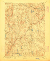
1892 Map of Gilead
USGS Topo · Published 1912About this map
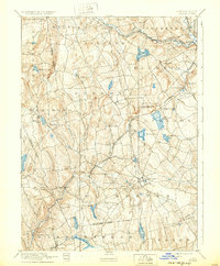
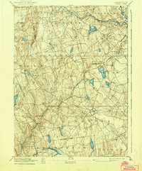
Lyman Viaduct stands as a significant engineering landmark on this late nineteenth-century survey, carrying the New York New Haven and Hartford Railroad Air Line Division across the steep valleys of Tolland and New London Counties. The landscape is defined by its transition from agricultural townships like Hebron and Marlboro to industrial hubs and railroad junctions. Notable water features such as Columbia Reservoir, Moodus Reservoir, and the sprawling Pocotopaug Lake reflect the region's reliance on water power and early reservoir management.
Find a feature on this map
65 named features on this map. Tap any name to fly to it.
Don’t see what you’re looking for? This feature index may not catch every label — zoom into the map to look around manually.
Map Details
Editions of this 1892 Gilead Map
7 editions found
Other maps of this area

1892 · Hartford
USGS Topo · 1:62,500

1892 · Woodstock
USGS Topo · 1:62,500

1892 · Tolland
USGS Topo · 1:62,500

1892 · New London
USGS Topo · 1:62,500

1892 · Norwich
USGS Topo · 1:62,500

1892 · Gilead
USGS Topo · 1:62,500

1893 · Guilford
USGS Topo · 1:62,500

1893 · Middletown
USGS Topo · 1:62,500

1893 · New London
USGS Topo · 1:62,500

1893 · Saybrook
USGS Topo · 1:62,500