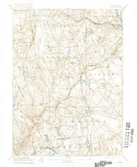
1892 Map of Gilead
USGS Topo · Published 1922About this map
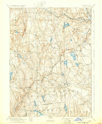
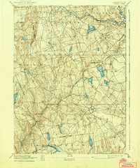
Hebron and Colchester anchor a landscape defined by industrial rail networks and significant water bodies in this late 19th-century survey. The transportation infrastructure of eastern Connecticut is prominently displayed, featuring the New York New Haven and Hartford Railroad Air Line Division as it cuts through Amston and connects to Westchester Station. This era shows a transition where smaller settlements like Gilead and Hope Valley were still distinct local hubs, while the management of water resources is evident at Columbia Reservoir and the Moodus Reservoir. The map captures the complex drainage of the Salmon River and Blackledge River before modern development altered these rural corridors. Genealogists will find interest in the precise placement of hilltop sites such as Prospect Hill and Mill Hill, which once overlooked a region dominated by mills and upland farming.
Find a feature on this map
61 named features on this map. Tap any name to fly to it.
Don’t see what you’re looking for? This feature index may not catch every label — zoom into the map to look around manually.
Map Details
Editions of this 1892 Gilead Map
7 editions found
Other maps of this area

1892 · Hartford
USGS Topo · 1:62,500

1892 · Woodstock
USGS Topo · 1:62,500

1892 · Tolland
USGS Topo · 1:62,500

1892 · New London
USGS Topo · 1:62,500

1892 · Norwich
USGS Topo · 1:62,500

1892 · Gilead
USGS Topo · 1:62,500

1893 · Guilford
USGS Topo · 1:62,500

1893 · Middletown
USGS Topo · 1:62,500

1893 · New London
USGS Topo · 1:62,500

1893 · Saybrook
USGS Topo · 1:62,500