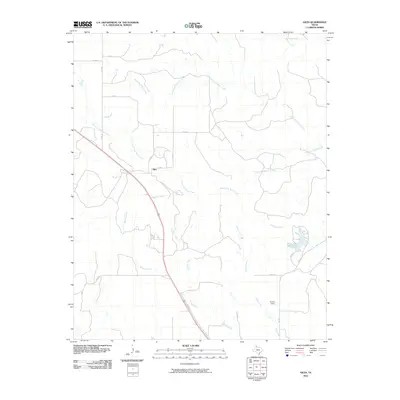
2010 Map of Giles
USGS Topo · Published 2010About this map
Giles is the central settlement in this portion of Donley County, serving as a hub for a network of rural roads such as Co RD Z and Co RD 24. The landscape is defined by the complex drainage systems of the North Fork Buck Creek and South Fork Buck Creek, which together with their numerous tributaries like Parker Creek and Berkley Creek create a dendritic pattern across the terrain. These waterways historically dictated the placement of early ranching and agricultural operations in the Texas Panhandle.
Find a feature on this map
23 named features on this map. Tap any name to fly to it.
Don’t see what you’re looking for? This feature index may not catch every label — zoom into the map to look around manually.
Map Details
Editions of this 2010 Giles Map
This is the sole edition of this map. No revisions or reprints were ever made.
Other maps of this area

1954 · Plainview
USGS Topo · 1:250,000

1958 · Plainview
USGS Topo · 1:250,000

1959 · Lelia Lake Creek
USGS Topo · 1:24,000

1959 · McKnight
USGS Topo · 1:24,000

1961 · Memphis
USGS Topo · 1:62,500

1961 · Estelline
USGS Topo · 1:62,500

1963 · Hedley
USGS Topo · 1:24,000

1963 · Giles
USGS Topo · 1:24,000

1964 · Rolla SW
USGS Topo · 1:24,000

1964 · Quail
USGS Topo · 1:24,000