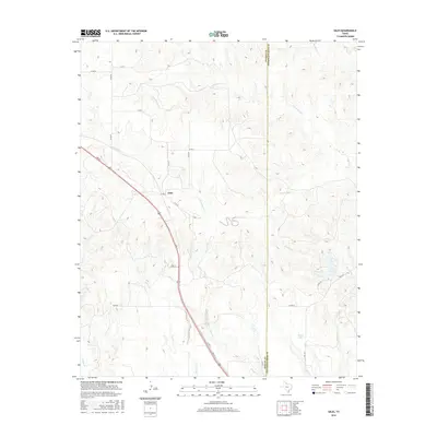
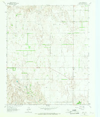
2016 Map of Giles
USGS Topo · Published 2016About this map
Giles is positioned along a primary corridor in the Texas Panhandle, defined by a complex drainage system feeding into the Red River watershed. This modern survey illustrates a landscape of intermittent streams and managed water, where features like Club Lake and Evans Lake provide localized reservoirs amidst the rolling terrain of eastern Donley County. The map records the precise boundary with Collingsworth County to the east, showing how local transit routes like FM 1547 and Co Rd 20 bridge the gap between rural ranching operations.
Find a feature on this map
28 named features on this map. Tap any name to fly to it.
Don’t see what you’re looking for? This feature index may not catch every label — zoom into the map to look around manually.
Map Details
Editions of this 2016 Giles Map
This is the sole edition of this map. No revisions or reprints were ever made.
Other maps of this area

1954 · Plainview
USGS Topo · 1:250,000

1958 · Plainview
USGS Topo · 1:250,000
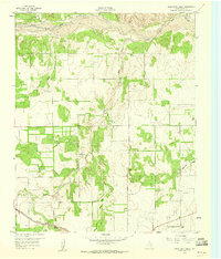
1959 · Lelia Lake Creek
USGS Topo · 1:24,000
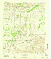
1959 · McKnight
USGS Topo · 1:24,000
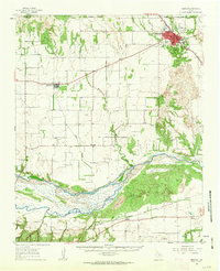
1961 · Memphis
USGS Topo · 1:62,500
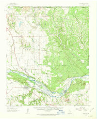
1961 · Estelline
USGS Topo · 1:62,500
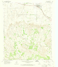
1963 · Hedley
USGS Topo · 1:24,000
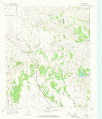
1963 · Giles
USGS Topo · 1:24,000
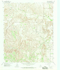
1964 · Rolla SW
USGS Topo · 1:24,000
1964 · Quail
USGS Topo · 1:24,000