
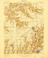
1915 Map of Gillespie
USGS Topo · Published 1915About this map
Gillespie serves as the industrial and transit anchor of this 1915 survey, where the Illinois Traction System and several steam railroads converge. The landscape is defined by the early 20th-century coal economy, with sites like the Coal Washer near Benld and scattered operations such as Mine No 15 and Mine No 7 indicating the region's productive depth. The rural sections between Bunker Hill and Staunton are densely settled with family-oriented landmarks, particularly an extensive network of one-room schools like Oak Hill School, Spanish Needle School, and Honey Point School.
Find a feature on this map
70 named features on this map. Tap any name to fly to it.
Don’t see what you’re looking for? This feature index may not catch every label — zoom into the map to look around manually.
Map Details
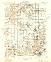
Editions of this 1915 Gillespie Map
3 editions found
Other maps of this area

1912 · Gillespie
USGS Topo · 1:62,500

1915 · Mount Olive
USGS Topo · 1:62,500

1923 · Carlinville
USGS Topo · 1:48,000

1923 · Raymond
USGS Topo · 1:62,500

1925 · Carlinville
USGS Topo · 1:62,500

1925 · Raymond
USGS Topo · 1:62,500

1925 · Brighton
USGS Topo · 1:62,500

1927 · Alton
USGS Topo · 1:62,500

1927 · Edwardsville
USGS Topo · 1:62,500

1928 · Brighton
USGS Topo · 1:62,500