
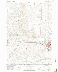
1971 Map of Gillette East
USGS Topo · Published 1974About this map
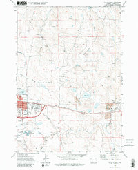
Gillette serves as the focal point of this Wyoming landscape during a period of industrial expansion in the early 1970s. The town's grid is established north of the Burlington Northern railroad, featuring civic landmarks like the County High School, North Side School, and Mt Pisgah Cemetery. To the east, the Wyodak Strip Mine and its associated Powerplant signify the region's energy-driven economy, while the Springen Ranch Oil Field occupies the northern reaches of the map.
Find a feature on this map
42 named features on this map. Tap any name to fly to it.
Don’t see what you’re looking for? This feature index may not catch every label — zoom into the map to look around manually.
Map Details
Editions of this 1971 Gillette East Map
3 editions found
Other maps of this area

1954 · Gillette
USGS Topo · 1:250,000

1955 · Gillette
USGS Topo · 1:250,000

1958 · Gillette
USGS Topo · 1:250,000

1962 · Gillette
USGS Topo · 1:250,000

1971 · Coyote Draw
USGS Topo · 1:24,000

1971 · Green Hill
USGS Topo · 1:24,000
1971 · The Gap
USGS Topo · 1:24,000
1971 · Appel Butte
USGS Topo · 1:24,000
1971 · Gillette West
USGS Topo · 1:24,000
1971 · Rawhide School
USGS Topo · 1:24,000