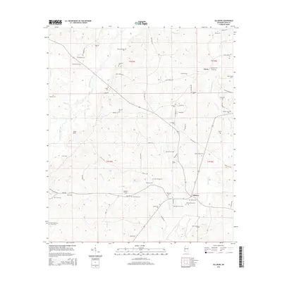
2015 Map of Gillsburg
USGS Topo · Published 2015About this map
The settlement of Gillsburg serves as the focal point for this rural southern Mississippi landscape, situated near the headwaters of the Tickfaw River and Cuba Creek. This 2015 survey reveals an area defined by family legacies, evidenced by the high density of private burial grounds scattered throughout the township. These include the Monroe-Brumfield Cemetery, McClendon Cemetery, and the Taylor Williams Cemetery, marking the historical footprints of generations of residents across Amite County.
Find a feature on this map
79 named features on this map. Tap any name to fly to it.
Don’t see what you’re looking for? This feature index may not catch every label — zoom into the map to look around manually.
Map Details
Editions of this 2015 Gillsburg Map
This is the sole edition of this map. No revisions or reprints were ever made.
Other maps of this area
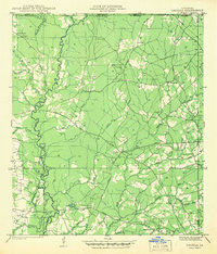
1941 · Chipola
USGS Topo · 1:31,680
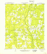
1942 · Liverpool
USGS Topo · 1:31,680
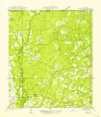
1945 · Chipola
USGS Topo · 1:31,680
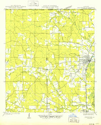
1950 · Kentwood
USGS Topo · 1:31,680
1953 · Natchez
USGS Topo · 1:250,000
1954 · Baton Rouge
USGS Topo · 1:250,000
1956 · Natchez
USGS Topo · 1:250,000
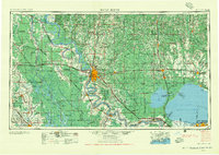
1956 · Baton Rouge
USGS Topo · 1:250,000
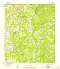
1958 · Felixville
USGS Topo · 1:62,500
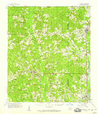
1958 · Kentwood
USGS Topo · 1:62,500