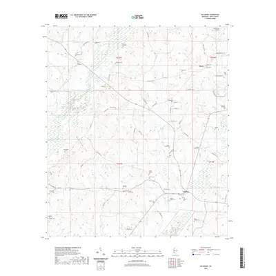
2020 Map of Gillsburg
USGS Topo · Published 2020About this map
The Gillsburg community and the small settlement of Huron anchor this portion of Amite County, where the landscape is defined by the headwaters and tributaries of the Tickfaw River and the East Fork Amite River. The area is remarkably dense with family burial grounds and small community cemeteries, reflecting a deeply rooted rural genealogy. Notable sites include the Monroe-Brumfield Cem, Bethlehem Cem, and George Roddy Lea Cem.
Find a feature on this map
74 named features on this map. Tap any name to fly to it.
Don’t see what you’re looking for? This feature index may not catch every label — zoom into the map to look around manually.
Map Details
Editions of this 2020 Gillsburg Map
This is the sole edition of this map. No revisions or reprints were ever made.
Other maps of this area

1941 · Chipola
USGS Topo · 1:31,680

1942 · Liverpool
USGS Topo · 1:31,680

1945 · Chipola
USGS Topo · 1:31,680

1950 · Kentwood
USGS Topo · 1:31,680

1953 · Natchez
USGS Topo · 1:250,000

1954 · Baton Rouge
USGS Topo · 1:250,000

1956 · Natchez
USGS Topo · 1:250,000

1956 · Baton Rouge
USGS Topo · 1:250,000
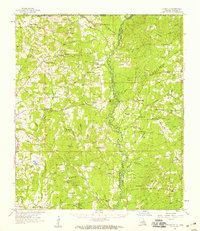
1958 · Felixville
USGS Topo · 1:62,500
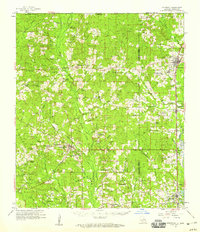
1958 · Kentwood
USGS Topo · 1:62,500