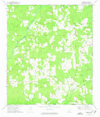
1972 Map of Gillsburg
USGS Topo · Published 1975About this map
The Old Indian Treaty Boundary slices diagonally through the eastern woods of Amite County, marking a significant historical line across this rural landscape. This 1972 survey records the area surrounding Gillsburg, where the Tickfaw River and Hurricane Creek flow southward toward the Louisiana border. The settlement pattern is characterized by scattered homesteads and family-named landmarks like Harness, McClendon, and Peoria, reflecting a long history of local land ownership and small-scale agriculture.
Find a feature on this map
37 named features on this map. Tap any name to fly to it.
Don’t see what you’re looking for? This feature index may not catch every label — zoom into the map to look around manually.
Map Details
Editions of this 1972 Gillsburg Map
2 editions found
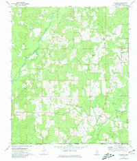
Other maps of this area

1941 · Chipola
USGS Topo · 1:31,680

1942 · Liverpool
USGS Topo · 1:31,680

1945 · Chipola
USGS Topo · 1:31,680

1950 · Kentwood
USGS Topo · 1:31,680

1953 · Natchez
USGS Topo · 1:250,000

1954 · Baton Rouge
USGS Topo · 1:250,000

1956 · Natchez
USGS Topo · 1:250,000

1956 · Baton Rouge
USGS Topo · 1:250,000
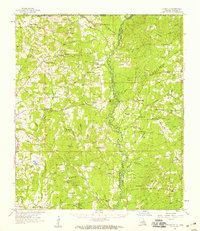
1958 · Felixville
USGS Topo · 1:62,500
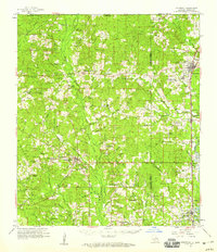
1958 · Kentwood
USGS Topo · 1:62,500