
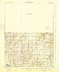
1925 Map of Gilman
USGS Topo · Published 1925About this map
Bancroft and Jameson serve as the primary hubs in this agricultural landscape of northwestern Missouri, surveyed just after the first world war. The northern half of this document remains a blank preliminary area, focusing the high-detail topography on the southern townships of Washington, Lincoln, and Jamesport. A dense network of rural infrastructure is evident, with nearly every section of land supporting a local institution such as McCleary School, Netherton School, or the Hickory Creek Church.
Find a feature on this map
50 named features on this map. Tap any name to fly to it.
Don’t see what you’re looking for? This feature index may not catch every label — zoom into the map to look around manually.
Map Details
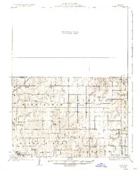
Editions of this 1925 Gilman Map
3 editions found
Other maps of this area

1921 · Chillicothe
USGS Topo · 1:62,500

1922 · Gallatin
USGS Topo · 1:62,500

1923 · Chillicothe
USGS Topo · 1:62,500

1924 · Winston
USGS Topo · 1:62,500

1925 · Pattonsburg
USGS Topo · 1:62,500

1944 · Pattonsburg
USGS Topo · 1:62,500

1946 · Gilman
USGS Topo · 1:48,000

1946 · Pattonsburg
USGS Topo · 1:48,000

1946 · Princeton
USGS Topo · 1:62,500

1947 · Blythedale
USGS Topo · 1:62,500