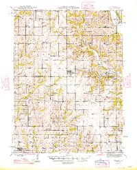
1948 Map of Gilman
USGS Topo · Published 1948About this map
The rolling agricultural landscape of Daviess, Harrison, and Grundy counties centers on the town of Gilman City P O and the smaller community of Melbourne. This 1940s topography reveals a dense network of local landmarks, from the Wabash railroad tracks passing through Jameson to dozens of country schools like Stephen Sch and Metcalf Sch. The survey documents a way of life defined by small townships such as Fox Creek and Sugar Creek, where rural churches like Springer Chapel and Union Ch served as social anchors.
Find a feature on this map
89 named features on this map. Tap any name to fly to it.
Don’t see what you’re looking for? This feature index may not catch every label — zoom into the map to look around manually.
Map Details
Editions of this 1948 Gilman Map
2 editions found
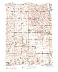
Other maps of this area
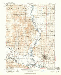
1921 · Chillicothe
USGS Topo · 1:62,500
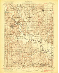
1922 · Gallatin
USGS Topo · 1:62,500
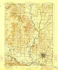
1923 · Chillicothe
USGS Topo · 1:62,500
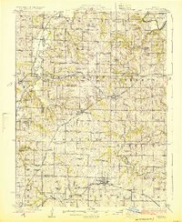
1924 · Winston
USGS Topo · 1:62,500
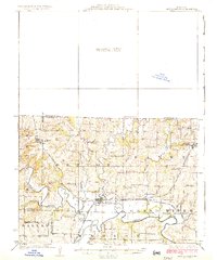
1925 · Pattonsburg
USGS Topo · 1:62,500
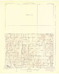
1925 · Gilman
USGS Topo · 1:62,500
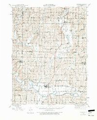
1944 · Pattonsburg
USGS Topo · 1:62,500
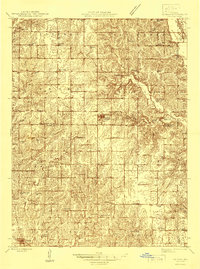
1946 · Gilman
USGS Topo · 1:48,000
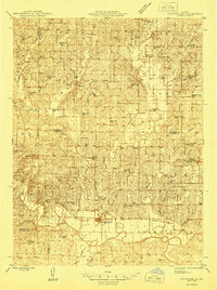
1946 · Pattonsburg
USGS Topo · 1:48,000
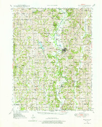
1946 · Princeton
USGS Topo · 1:62,500