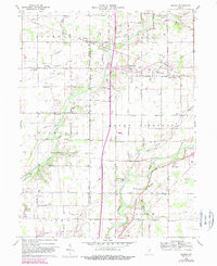
1960 Map of Gilman
USGS Topo · Published 1988About this map
The White River valley south of Muncie defines the landscape of this mid-century survey, where the river winds through Salem and Mount Pleasant townships. Early spiritual life in the area is anchored by several rural congregations, including the Vermillion Meetinghouse and the Pleasant Run Ch, while local burial sites like the Moonville Cem and Hawk Cem provide valuable records for genealogists. Small rural hubs such as Gilman, Moonville, and Reed Station are connected by a grid of numbered roads and specialized paths like Bethel Road. The drainage patterns of Killbuck Creek and York Prairie Creek reveal the agricultural character of the territory during this period. Researchers can also trace the early industrial footprint of the region through several Gas Wells and a Gravel Pit located near the southern boundary in Daleville.
Find a feature on this map
65 named features on this map. Tap any name to fly to it.
Don’t see what you’re looking for? This feature index may not catch every label — zoom into the map to look around manually.
Map Details
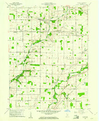
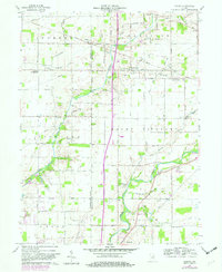
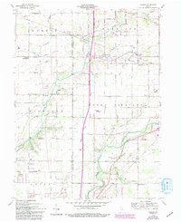
Editions of this 1960 Gilman Map
5 editions found
Other maps of this area

1952 · Muncie West
USGS Topo · 1:24,000

1952 · Anderson
USGS Topo · 1:24,000

1953 · Muncie
USGS Topo · 1:250,000

1956 · Muncie
USGS Topo · 1:250,000

1960 · Gilman
USGS Topo · 1:24,000

1960 · Middletown
USGS Topo · 1:24,000

1960 · Alexandria
USGS Topo · 1:24,000

1960 · Wheeling
USGS Topo · 1:24,000

1960 · Sulphur Springs
USGS Topo · 1:24,000

1960 · Gaston
USGS Topo · 1:24,000