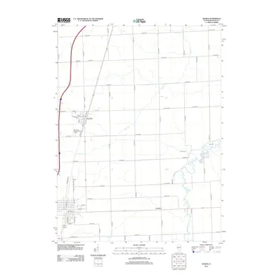
2012 Map of Gilman
USGS Topo · Published 2012About this map
The agricultural landscape of central Iroquois County is centered on the village of Danforth and the smaller settlement of Leonard in this 2012 survey. The topography is defined by the winding paths of Prairie Cr and Spring Cr, which cut through a highly structured grid of section roads like N 1000 E RD and E 2500 N RD. This layout reflects the area's deep-rooted farming heritage, where every mile is marked by long-established rural routes and drainage patterns essential for the local prairie soil.
Find a feature on this map
55 named features on this map. Tap any name to fly to it.
Don’t see what you’re looking for? This feature index may not catch every label — zoom into the map to look around manually.
Map Details
Editions of this 2012 Gilman Map
This is the sole edition of this map. No revisions or reprints were ever made.
Other maps of this area

1939 · Cissna Park
USGS Topo · 1:62,500

1944 · Piper City
USGS Topo · 1:48,000

1944 · Gilman
USGS Topo · 1:62,500

1946 · Gilman
USGS Topo · 1:62,500

1947 · Piper City
USGS Topo · 1:62,500

1948 · Buckley
USGS Topo · 1:62,500

1949 · Cissna Park
USGS Topo · 1:62,500

1949 · Buckley
USGS Topo · 1:62,500

1953 · Danville
USGS Topo · 1:250,000

1955 · Danville
USGS Topo · 1:250,000