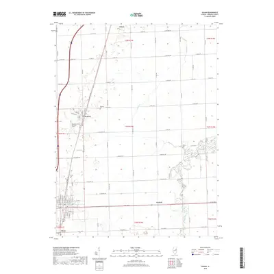
2018 Map of Gilman
USGS Topo · Published 2018About this map
The agricultural plains of Iroquois County are defined by a grid of rural roads and small rail-side settlements in this 2018 survey. Gilman and Danforth serve as the primary hubs, with the latter featuring the Danforth Cem and proximity to the Raymond Classen Memorial Airport. The landscape is largely structured for commercial farming, yet preserves several historic burial grounds including Wenger Cem, Bardon Cem, and Kirby Cem, which offer significant value for genealogists studying the families of the Illinois prairie.
Find a feature on this map
41 named features on this map. Tap any name to fly to it.
Don’t see what you’re looking for? This feature index may not catch every label — zoom into the map to look around manually.
Map Details
Editions of this 2018 Gilman Map
This is the sole edition of this map. No revisions or reprints were ever made.
Other maps of this area

1939 · Cissna Park
USGS Topo · 1:62,500

1944 · Piper City
USGS Topo · 1:48,000

1944 · Gilman
USGS Topo · 1:62,500

1946 · Gilman
USGS Topo · 1:62,500

1947 · Piper City
USGS Topo · 1:62,500

1948 · Buckley
USGS Topo · 1:62,500

1949 · Cissna Park
USGS Topo · 1:62,500

1949 · Buckley
USGS Topo · 1:62,500

1953 · Danville
USGS Topo · 1:250,000

1955 · Danville
USGS Topo · 1:250,000