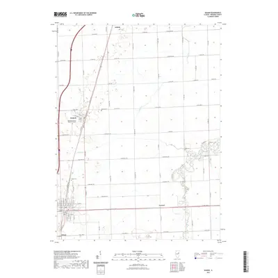
2021 Map of Gilman
USGS Topo · Published 2021About this map
The agrarian landscape of Iroquois County is punctuated by the established communities of Danforth and Gilman in this 2021 survey. The region is defined by an intricate grid of rural roads and the drainage patterns of Prairie Cr and Spring Creek, which wind through the township sections towards the eastern wetlands near Fish Lake. For genealogists, the map is particularly valuable for its precise location of several small burial grounds, including Danforth Cem, Bardon Cem, and Wenger Cem, often located at the edges of family land holdings or former settlement sites. Further north, the village of Ashkum marks the upper reaches of this quadrangle, while the presence of the Raymond Classen Memorial Airport and the crossroads at Leonard illustrate the modern transportation infrastructure that has layered over the historic rural character of the Illinois prairie.
Find a feature on this map
67 named features on this map. Tap any name to fly to it.
Don’t see what you’re looking for? This feature index may not catch every label — zoom into the map to look around manually.
Map Details
Editions of this 2021 Gilman Map
This is the sole edition of this map. No revisions or reprints were ever made.
Other maps of this area

1939 · Cissna Park
USGS Topo · 1:62,500

1944 · Piper City
USGS Topo · 1:48,000

1944 · Gilman
USGS Topo · 1:62,500

1946 · Gilman
USGS Topo · 1:62,500

1947 · Piper City
USGS Topo · 1:62,500

1948 · Buckley
USGS Topo · 1:62,500

1949 · Cissna Park
USGS Topo · 1:62,500

1949 · Buckley
USGS Topo · 1:62,500

1953 · Danville
USGS Topo · 1:250,000

1955 · Danville
USGS Topo · 1:250,000