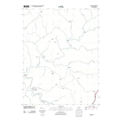
2011 Map of Gilmer
USGS Topo · Published 2011About this map
The Little Kanawha River and its tributary, the Sand Fork, dictate the settlement patterns of this central West Virginia landscape. Small hamlets and post offices serve as local hubs, including Stouts Mills and the Gilmer Post Office in the south, while Donlan and Ellis anchor the northern reaches. The area is defined by its ridge-and-hollow topography, with narrow roads like Sliding Run-Stouts Mill and Butchers Fork Rd following the meandering path of numerous runs and forks.
Find a feature on this map
75 named features on this map. Tap any name to fly to it.
Don’t see what you’re looking for? This feature index may not catch every label — zoom into the map to look around manually.
Map Details
Editions of this 2011 Gilmer Map
This is the sole edition of this map. No revisions or reprints were ever made.
Other maps of this area

1893 · Sutton
USGS Topo · 1:125,000

1904 · Vadis
USGS Topo · 1:62,500

1906 · Holbrook
USGS Topo · 1:62,500

1906 · Glenville
USGS Topo · 1:62,500

1906 · Burnsville
USGS Topo · 1:62,500

1924 · Holbrook
USGS Topo · 1:62,500

1925 · Glenville
USGS Topo · 1:62,500

1925 · Burnsville
USGS Topo · 1:62,500

1925 · Vadis
USGS Topo · 1:62,500

1926 · Holbrook
USGS Topo · 1:62,500