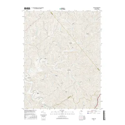
2016 Map of Gilmer
USGS Topo · Published 2016About this map
Sand Fork serves as a central hub in this West Virginia landscape, situated where Sand Fork (the watercourse) meets the winding terrain of central Gilmer County. The map details a deeply dissected plateau where settlements like Blackburn, Ellis, and Donlan are connected by a network of rural routes including Sand Fork Rd and Hackers Run Rd. To the south, the Little Kanawha River cuts through the territory near the community of Gilmer, reflecting the river-and-road orientation of the region's development.
Find a feature on this map
90 named features on this map. Tap any name to fly to it.
Don’t see what you’re looking for? This feature index may not catch every label — zoom into the map to look around manually.
Map Details
Editions of this 2016 Gilmer Map
This is the sole edition of this map. No revisions or reprints were ever made.
Other maps of this area

1893 · Sutton
USGS Topo · 1:125,000

1904 · Vadis
USGS Topo · 1:62,500

1906 · Holbrook
USGS Topo · 1:62,500

1906 · Glenville
USGS Topo · 1:62,500

1906 · Burnsville
USGS Topo · 1:62,500

1924 · Holbrook
USGS Topo · 1:62,500

1925 · Glenville
USGS Topo · 1:62,500

1925 · Burnsville
USGS Topo · 1:62,500

1925 · Vadis
USGS Topo · 1:62,500

1926 · Holbrook
USGS Topo · 1:62,500