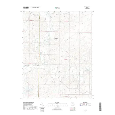
2017 Map of Gipsy
USGS Topo · Published 2017About this map
Gipsy and the settlement of Buchanan anchor this survey of the Ozark foothills, where the Upper Castor River snakes through a landscape defined by deep-cut valleys and ridges. Local family history is preserved in small burial grounds such as Cowan Cem, Maddox Cem, and Clubb Cem, which are scattered among the timbered slopes. The terrain is marked by distinctive topographic features like Hurricane Hollow, Lime Kiln Hollow, and Big Branch Hollow, while water bodies including Factory Pond and Cypress Slough indicate the complex drainage of the river system. A network of county roads and State Hwy Y provide the primary transit through these rugged townships, connecting isolated farms and homesteads along the border of Wayne and Bollinger counties.
Find a feature on this map
49 named features on this map. Tap any name to fly to it.
Don’t see what you’re looking for? This feature index may not catch every label — zoom into the map to look around manually.
Map Details
Editions of this 2017 Gipsy Map
This is the sole edition of this map. No revisions or reprints were ever made.
Other maps of this area
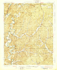
1930 · Coldwater
USGS Topo · 1:62,500
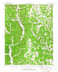
1933 · Marquand
USGS Topo · 1:62,500
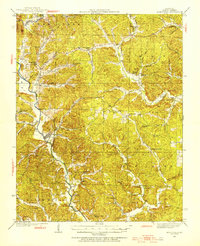
1934 · Greenville
USGS Topo · 1:62,500
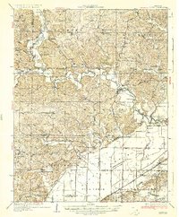
1935 · Zalma
USGS Topo · 1:62,500
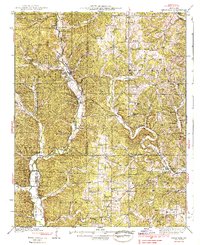
1938 · Marquand
USGS Topo · 1:62,500
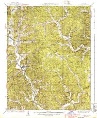
1939 · Greenville
USGS Topo · 1:62,500
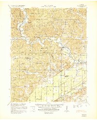
1939 · Zalma
USGS Topo · 1:62,500
1949 · Rolla
USGS Topo · 1:250,000
1949 · Coldwater
USGS Topo · 1:62,500
1953 · Rolla
USGS Topo · 1:250,000