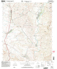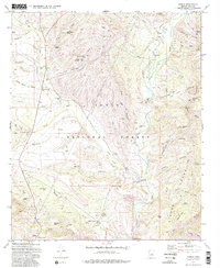
1972 Map of Gisela
USGS Topo · Published 1982About this map
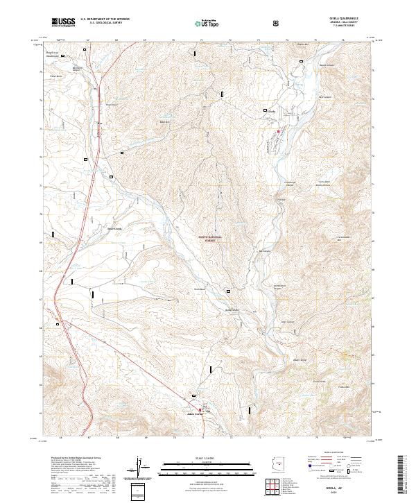
Gisela sits along the banks of Tonto Creek as a small hub of settlement surrounded by the high desert topography of the Tonto National Forest. The landscape is defined by its water management, evidenced by numerous tanks and wells like Bassett Tank and Hardt Creek Well that support the ranching operations characteristic of this Gila County region. The map shows the convergence of traditional grazing lands and the wilder slopes of the Sierra Ancha and Fisher Mesa, where travel is often restricted to a Jeep Trail or the Old Mail (Pack) Trail.
Find a feature on this map
62 named features on this map. Tap any name to fly to it.
Don’t see what you’re looking for? This feature index may not catch every label — zoom into the map to look around manually.
Map Details
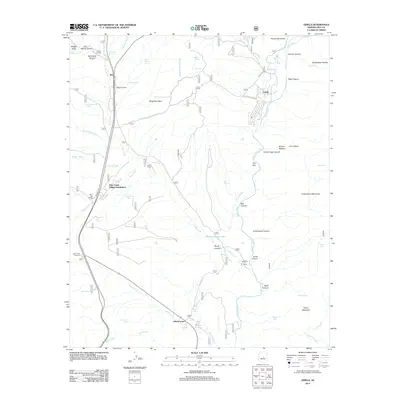
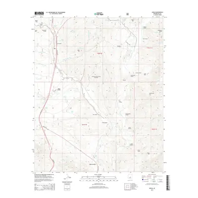
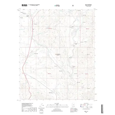
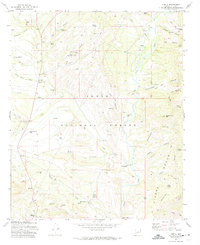
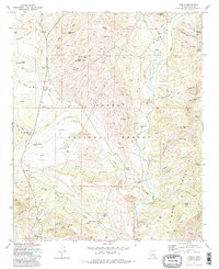
Editions of this 1972 Gisela Map
3 editions found
Historical Maps of Rye Through Time
6 maps found