1972 Map of Gisela
USGS Topo · Published 1982About this map
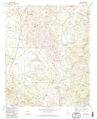
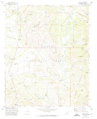
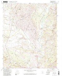
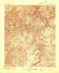
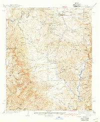
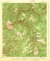
Tonto Creek flows southward through this Gila County landscape, carving a prominent valley that anchors the local settlement pattern during the early 1970s. The small community of Gisela serves as the primary focal point, situated near several Ruins and a Cem that hint at the area's deep-rooted history. The map details a transition from the riparian environment of the creek bed to the uplifted terrain of Black Mountain and the Sierra Ancha range.
Find a feature on this map
71 named features on this map. Tap any name to fly to it.
Don’t see what you’re looking for? This feature index may not catch every label — zoom into the map to look around manually.
Map Details
Editions of this 1972 Gisela Map
3 editions found
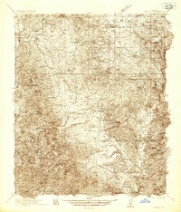
Other maps of this area

1887 · Verde
USGS Topo · 1:250,000

1892 · Verde
USGS Topo · 1:250,000

1907 · Roosevelt
USGS Topo · 1:125,000

1909 · Four Peaks
USGS Topo · 1:125,000

1912 · Roosevelt
USGS Topo · 1:125,000
1936 · Payson
USGS Topo · 1:48,000
1937 · Diamond Butte
USGS Topo · 1:48,000
1942 · Payson
USGS Topo · 1:62,500
1943 · Diamond Butte
USGS Topo · 1:62,500

1954 · Holbrook
USGS Topo · 1:250,000