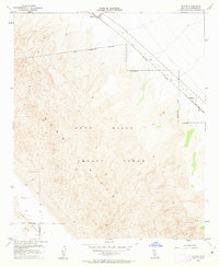
1955 Map of Glamis
USGS Topo · Published 1963About this map
The Sand Hills dominate this mid-century landscape of Imperial County, California, showing a territory defined by infrastructure and military utility. The Southern Pacific railroad cuts a straight line through the desert, connecting the small settlements of Glamis and Ruthven. This corridor was critical for transcontinental freight and travel in the post-war era, even as the surrounding environment was carved into functional zones.
Find a feature on this map
10 named features on this map. Tap any name to fly to it.
Don’t see what you’re looking for? This feature index may not catch every label — zoom into the map to look around manually.
Map Details
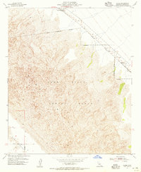
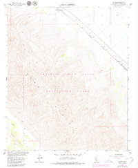
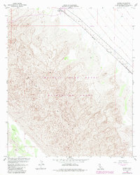
Editions of this 1955 Glamis Map
4 editions found
Other maps of this area

1903 · Yuma
USGS Topo · 1:125,000

1905 · Yuma
USGS Topo · 1:125,000

1907 · Holtville
USGS Topo · 1:125,000

1942 · El Centro
USGS Topo · 1:250,000

1942 · Yuma
USGS Topo · 1:250,000

1942 · Blythe
USGS Topo · 1:250,000

1953 · Quartz Peak
USGS Topo · 1:62,500

1953 · Ogilby
USGS Topo · 1:62,500

1953 · Cactus
USGS Topo · 1:24,000

1953 · Acolita
USGS Topo · 1:24,000