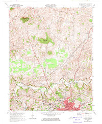
1973 Map of Glasgow North
USGS Topo · Published 1974About this map
The karst topography of central Kentucky is evident in this detailed 1973 survey, dominated by prominent elevations like Prewitts Knob and Flint Knob. The landscape is a mix of agricultural land and emerging industrial extraction, marked by numerous Oil Wells and a Quarry situated between the larger hubs of Glasgow and Cave City. This area is characterized by its subterranean features, most notably the Crystal Onyx Cave located in the northwest corner near the Louisville and Nashville rail line.
Find a feature on this map
46 named features on this map. Tap any name to fly to it.
Don’t see what you’re looking for? This feature index may not catch every label — zoom into the map to look around manually.
Map Details
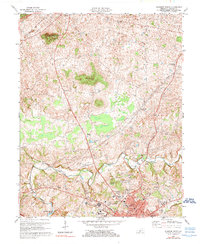
Editions of this 1973 Glasgow North Map
2 editions found
Other maps of this area

1922 · Mammoth Cave
USGS Topo · 1:62,500

1923 · Mammoth Cave
USGS Topo · 1:62,500

1926 · Scottsville
USGS Topo · 1:62,500

1935 · Horse Cave
USGS Topo · 1:48,000

1938 · Horse Cave
USGS Topo · 1:62,500

1953 · Temple Hill
USGS Topo · 1:24,000

1953 · Glasgow South
USGS Topo · 1:24,000

1954 · Evansville
USGS Topo · 1:250,000

1954 · Park
USGS Topo · 1:24,000

1954 · Horse Cave
USGS Topo · 1:24,000