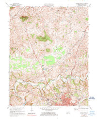
1973 Map of Glasgow North
USGS Topo · Published 1979About this map
Glasgow anchors this survey of central Barren County, showing the city's northern growth toward the Cumberland Parkway and the established rural landscapes of the 1970s. The region's petroleum history is evident through numerous Oil Wells and the settlement of Oil City, while the northern reach of Barren River Lake and the course of Beaver Creek define the local hydrology. The map captures a high concentration of community landmarks, from the Glasgow Municipal Airport and Glasgow Country Club to local spiritual centers like Salem Ch, Little Bethel Ch, and Harlow Chapel.
Find a feature on this map
39 named features on this map. Tap any name to fly to it.
Don’t see what you’re looking for? This feature index may not catch every label — zoom into the map to look around manually.
Map Details
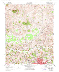
Editions of this 1973 Glasgow North Map
2 editions found
Other maps of this area

1922 · Mammoth Cave
USGS Topo · 1:62,500

1923 · Mammoth Cave
USGS Topo · 1:62,500

1926 · Scottsville
USGS Topo · 1:62,500

1935 · Horse Cave
USGS Topo · 1:48,000

1938 · Horse Cave
USGS Topo · 1:62,500

1953 · Temple Hill
USGS Topo · 1:24,000

1953 · Glasgow South
USGS Topo · 1:24,000

1954 · Evansville
USGS Topo · 1:250,000

1954 · Park
USGS Topo · 1:24,000

1954 · Horse Cave
USGS Topo · 1:24,000