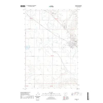
2020 Map of Glasgow
USGS Topo · Published 2020About this map
Glasgow serves as the regional hub at the confluence of prairie and river, centered around the Valley County Courthouse. The landscape is defined by the winding course of the Milk River, which creates a complex drainage system across the northern plains. This hydrology is marked by deep coulees like Richardson Coulee and Martin Coulee that carve into the high ground, while smaller tributaries such as Cherry Cr and Little Brazil Cr feed the main river valley.
Find a feature on this map
57 named features on this map. Tap any name to fly to it.
Don’t see what you’re looking for? This feature index may not catch every label — zoom into the map to look around manually.
Map Details
Editions of this 2020 Glasgow Map
This is the sole edition of this map. No revisions or reprints were ever made.
Other maps of this area
1943 · Glasgow
USGS Topo · 1:125,000
1954 · Glasgow
USGS Topo · 1:250,000
1957 · Glasgow
USGS Topo · 1:250,000
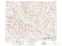
1958 · Glasgow
USGS Topo · 1:250,000
1958 · Engstrom Ranch
USGS Topo · 1:24,000
1958 · Miller Coulee
USGS Topo · 1:62,500
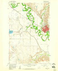
1958 · Glasgow
USGS Topo · 1:24,000
1958 · Blanchard Ranch
USGS Topo · 1:24,000
1958 · Wheeler
USGS Topo · 1:24,000
1958 · Whately
USGS Topo · 1:24,000