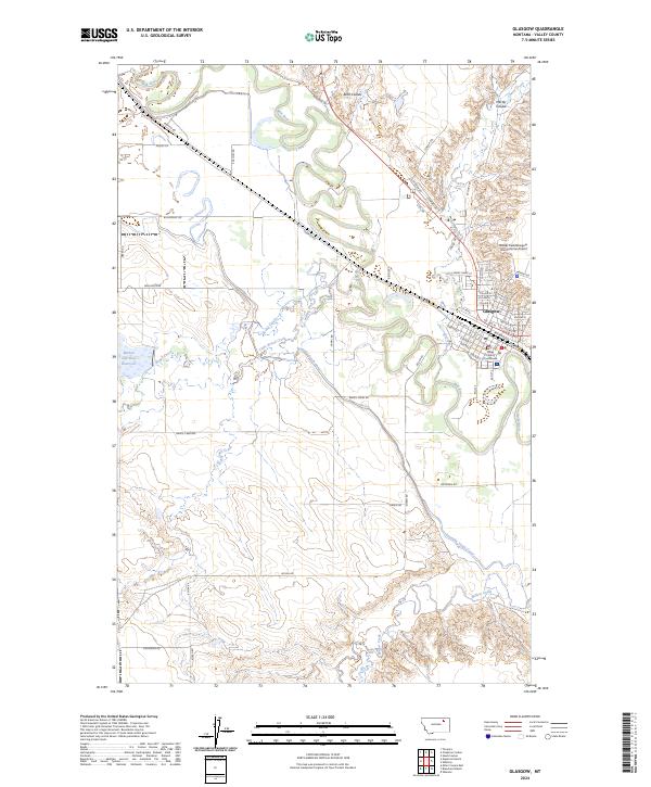
2024 Map of Glasgow
USGS Topo · Published 2024About this map
Glasgow serves as the hub of this Valley County landscape, where the Milk River carves a winding path through the northern plains. The city’s grid is anchored by the Valley County Courthouse and extends north toward the Wokal Field/Glasgow International Airport. Modern transportation and commerce are defined by the BNSF Railway and the Railroad Aly, which parallel the river's course.
Find a feature on this map
67 named features on this map. Tap any name to fly to it.
Don’t see what you’re looking for? This feature index may not catch every label — zoom into the map to look around manually.
Map Details
Editions of this 2024 Glasgow Map
This is the sole edition of this map. No revisions or reprints were ever made.
Other maps of this area

1943 · Glasgow
USGS Topo · 1:125,000

1954 · Glasgow
USGS Topo · 1:250,000

1957 · Glasgow
USGS Topo · 1:250,000

1958 · Glasgow
USGS Topo · 1:250,000

1958 · Engstrom Ranch
USGS Topo · 1:24,000

1958 · Miller Coulee
USGS Topo · 1:62,500

1958 · Glasgow
USGS Topo · 1:24,000
1958 · Blanchard Ranch
USGS Topo · 1:24,000

1958 · Wheeler
USGS Topo · 1:24,000

1958 · Whately
USGS Topo · 1:24,000