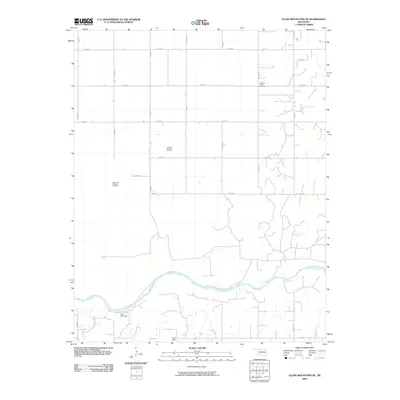
2009 Map of Glass Mountains NE
USGS Topo · Published 2009About this map
The Cimarron River winds through this landscape in Alfalfa County, defining the local geography as it flows past Lone Peak. This 2009 survey highlights the region's industrial and agricultural character, dominated by the expansive Oakdale Gas and Oil Field and the Southwest Oakdale Gas Field. These energy resources are situated alongside a strict grid of section roads like N2500 Rd and E0380 Rd, which partition the plains for ranching and farming operations.
Find a feature on this map
23 named features on this map. Tap any name to fly to it.
Don’t see what you’re looking for? This feature index may not catch every label — zoom into the map to look around manually.
Map Details
Editions of this 2009 Glass Mountains NE Map
This is the sole edition of this map. No revisions or reprints were ever made.
Other maps of this area

1955 · Woodward
USGS Topo · 1:250,000

1958 · Woodward
USGS Topo · 1:250,000

1968 · Carmen
USGS Topo · 1:24,000

1969 · Dacoma SW
USGS Topo · 1:24,000

1969 · Glass Mountains NW
USGS Topo · 1:24,000

1969 · Glass Mountains
USGS Topo · 1:24,000

1969 · Fairview
USGS Topo · 1:24,000

1969 · Cleo Springs
USGS Topo · 1:24,000

1969 · Glass Mountains NE
USGS Topo · 1:24,000

1969 · Glass Mountains SW
USGS Topo · 1:24,000