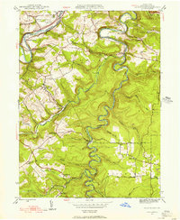
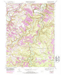
1944 Map of Glen Richey
USGS Topo · Published 1956About this map
Clearfield Creek meanders deeply through the center of this 1944 survey, shaping a landscape defined by sharp ridges and narrow valleys in Clearfield County. The winding waterway dictates the location of early industry and transport, with the B & O railroad following the tight bends of the creek and its tributaries like Little Clearfield Creek. Settlement is concentrated in small communities such as Glen Richey, Oshanter, and Faunce, where local life centered around a network of rural schoolhouses and churches. From the Turkey Hill Sch in the west to the Jeffries Sch in the east, the map documents a mid-century rural infrastructure before modern consolidation. Notably, the northern edge features The Narrows along the West Branch Susquehanna River, a topographic bottleneck bridged at Porters Bridge near the Clearfield and Curwensville Country Club.
Find a feature on this map
50 named features on this map. Tap any name to fly to it.
Don’t see what you’re looking for? This feature index may not catch every label — zoom into the map to look around manually.
Map Details
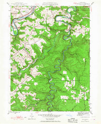
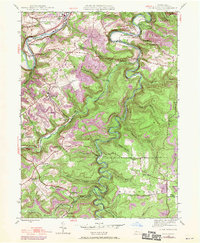
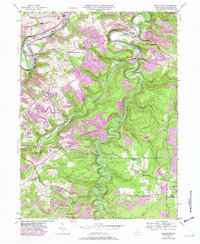
Editions of this 1944 Glen Richey Map
5 editions found
Other maps of this area

1903 · Curwensville
USGS Topo · 1:62,500

1903 · Houtzdale
USGS Topo · 1:62,500

1905 · Houtzdale
USGS Topo · 1:62,500

1929 · Clearfield
USGS Topo · 1:48,000

1929 · Penfield
USGS Topo · 1:62,500

1932 · Clearfield
USGS Topo · 1:62,500

1932 · Penfield
USGS Topo · 1:62,500

1939 · Curwensville
USGS Topo · 1:62,500

1942 · Curwensville
USGS Topo · 1:62,500

1943 · Punxsutawney
USGS Topo · 1:125,000