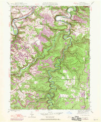
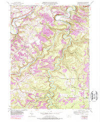
1944 Map of Glen Richey
USGS Topo · Published 1970About this map
West Branch Susquehanna River cuts through the northern reaches of this Clearfield County landscape, where the Penn Central railroad follows the winding banks past Hyde. The terrain is defined by deep incisions from Little Clearfield Creek and its many tributaries, creating a network of ridges and hollows that historically dictated settlement patterns. Small communities like Glen Richey, Oshanter, and Kellytown are scattered across the high ground, often established near industrial infrastructure or local schools such as Evergreen Sch and Turkey Hill Sch.
Find a feature on this map
53 named features on this map. Tap any name to fly to it.
Don’t see what you’re looking for? This feature index may not catch every label — zoom into the map to look around manually.
Map Details
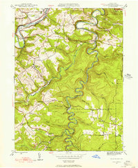
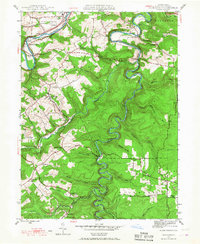
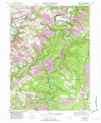
Editions of this 1944 Glen Richey Map
5 editions found
Other maps of this area

1903 · Curwensville
USGS Topo · 1:62,500

1903 · Houtzdale
USGS Topo · 1:62,500

1905 · Houtzdale
USGS Topo · 1:62,500

1929 · Clearfield
USGS Topo · 1:48,000

1929 · Penfield
USGS Topo · 1:62,500

1932 · Clearfield
USGS Topo · 1:62,500

1932 · Penfield
USGS Topo · 1:62,500

1939 · Curwensville
USGS Topo · 1:62,500

1942 · Curwensville
USGS Topo · 1:62,500

1943 · Punxsutawney
USGS Topo · 1:125,000