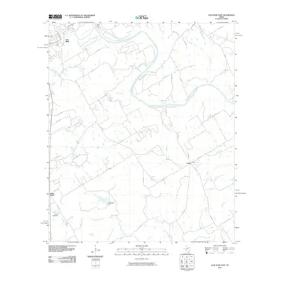
2010 Map of Glen Rose East
USGS Topo · Published 2010About this map
The Brazos River meanders through the heart of this Somervell County landscape, meeting the Paluxy River just east of Glen Rose. The terrain transitions from the river valley to the distinct high points of Seven Knobs in the southwest. This area is characterized by a mix of recreational and residential developments, including Glen Lake Camp and Camp Tres Rios, reflecting the region's long-standing draw as a retreat destination. Water management is a visible priority across the quadrangle, evidenced by infrastructure like Stufflbeme Dam and Clarke Lake Dam. In the southeastern corner, the small settlement of Eulogy sits near the intersection of several county roads and Farm Rd 56, serving as a localized hub for the surrounding rural area. Numerous named creeks, such as Buck Creek and Hill Creek, drain the countryside into the primary river systems.
Find a feature on this map
49 named features on this map. Tap any name to fly to it.
Don’t see what you’re looking for? This feature index may not catch every label — zoom into the map to look around manually.
Map Details
Editions of this 2010 Glen Rose East Map
This is the sole edition of this map. No revisions or reprints were ever made.
Other maps of this area

1889 · Granbury
USGS Topo · 1:125,000

1924 · Granbury 1-c
USGS Topo · 1:48,000

1924 · Granbury 4-a
USGS Topo · 1:48,000

1928 · Godley
USGS Topo · 1:62,500

1931 · Morgan
USGS Topo · 1:62,500

1931 · Tolar
USGS Topo · 1:62,500

1954 · Dallas
USGS Topo · 1:250,000

1958 · Dallas
USGS Topo · 1:250,000
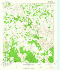
1961 · Hill City
USGS Topo · 1:24,000
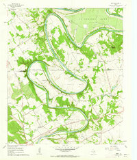
1961 · Nemo
USGS Topo · 1:24,000