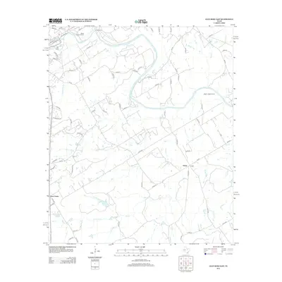
2012 Map of Glen Rose East
USGS Topo · Published 2012About this map
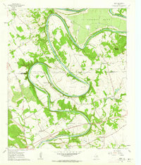
The Brazos River winds across this north-central Texas landscape, joined by the Paluxy River near the northwest corner of the survey. The community of Eulogy serves as a local landmark in the southeastern portion of the map, while Glen Lake Camp and Camp Tres Rios indicate the area's role in regional recreation and youth programs. This 2012 survey illustrates the transition from the river bottomlands to higher ground, specifically marked by the elevation of Seven Knobs to the west. Transportation is facilitated by a network of rural routes like FM 56 and FM 199, alongside small aviation facilities such as Wyatt 3-Rivers Airport and Little 'L' Ranch Airport. Numerous small water bodies and tributaries, including Stuffelberne Lake and Hill Cr, suggest a land shaped by both agricultural drainage and local conservation efforts.
Find a feature on this map
76 named features on this map. Tap any name to fly to it.
Don’t see what you’re looking for? This feature index may not catch every label — zoom into the map to look around manually.
Map Details
Editions of this 2012 Glen Rose East Map
This is the sole edition of this map. No revisions or reprints were ever made.
Other maps of this area
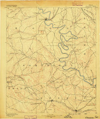
1889 · Granbury
USGS Topo · 1:125,000
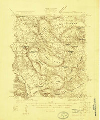
1924 · Granbury 1-c
USGS Topo · 1:48,000
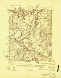
1924 · Granbury 4-a
USGS Topo · 1:48,000
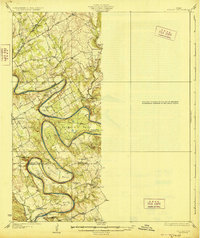
1928 · Godley
USGS Topo · 1:62,500
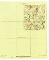
1931 · Morgan
USGS Topo · 1:62,500
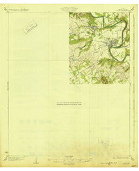
1931 · Tolar
USGS Topo · 1:62,500

1954 · Dallas
USGS Topo · 1:250,000

1958 · Dallas
USGS Topo · 1:250,000
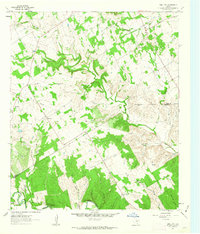
1961 · Hill City
USGS Topo · 1:24,000
1961 · Nemo
USGS Topo · 1:24,000