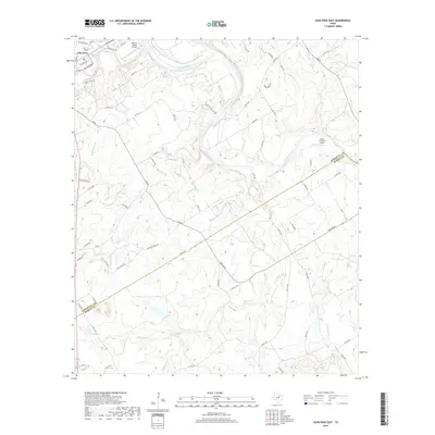
2019 Map of Glen Rose East
USGS Topo · Published 2019About this map
Glen Rose sits at the confluence where the Paluxy River meets the Brazos River, anchoring the northwestern corner of this 2019 survey. The landscape is defined by the winding course of the Brazos as it carves through the limestone-rich terrain of Somervell and Bosque counties. A complex network of drainage systems, including Hill Cr, Buck Cr, and Flat Rock Cr, feeds into the main river channel, illustrating the area's intricate natural hydrology.
Find a feature on this map
74 named features on this map. Tap any name to fly to it.
Don’t see what you’re looking for? This feature index may not catch every label — zoom into the map to look around manually.
Map Details
Editions of this 2019 Glen Rose East Map
This is the sole edition of this map. No revisions or reprints were ever made.
Other maps of this area

1889 · Granbury
USGS Topo · 1:125,000

1924 · Granbury 1-c
USGS Topo · 1:48,000

1924 · Granbury 4-a
USGS Topo · 1:48,000

1928 · Godley
USGS Topo · 1:62,500

1931 · Morgan
USGS Topo · 1:62,500

1931 · Tolar
USGS Topo · 1:62,500

1954 · Dallas
USGS Topo · 1:250,000

1958 · Dallas
USGS Topo · 1:250,000
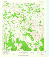
1961 · Hill City
USGS Topo · 1:24,000
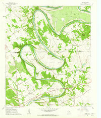
1961 · Nemo
USGS Topo · 1:24,000