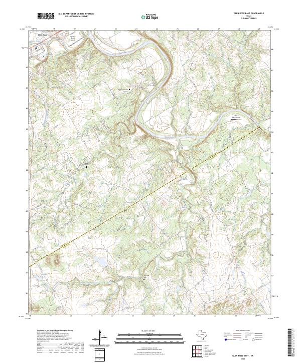
2023 Map of Glen Rose East
USGS Topo · Published 2023About this map
The Brazos River meanders through the heart of this landscape, carving deep bends as it flows toward the Somervell and Bosque county line. This region is characterized by its complex hydrology, where the Paluxy River meets the Brazos near the settlement of Glen Rose. Further south, the terrain is defined by the drainage systems of Hill Creek, including its North Fork and South Fork, which move through a network of rural county roads. For those tracing local heritage, several burial grounds are established here, including White Church Cem and Rock Creek Cem. The presence of small aviation sites like Wyatt 3-Rivers Airport and Little 'L' Ranch Airport suggests a modern rural economy integrated with the traditional ranching and river-based geography of Central Texas.
Find a feature on this map
74 named features on this map. Tap any name to fly to it.
Don’t see what you’re looking for? This feature index may not catch every label — zoom into the map to look around manually.
Map Details
Editions of this 2023 Glen Rose East Map
This is the sole edition of this map. No revisions or reprints were ever made.
Other maps of this area

1889 · Granbury
USGS Topo · 1:125,000

1924 · Granbury 1-c
USGS Topo · 1:48,000

1924 · Granbury 4-a
USGS Topo · 1:48,000

1928 · Godley
USGS Topo · 1:62,500

1931 · Morgan
USGS Topo · 1:62,500

1931 · Tolar
USGS Topo · 1:62,500

1954 · Dallas
USGS Topo · 1:250,000

1958 · Dallas
USGS Topo · 1:250,000
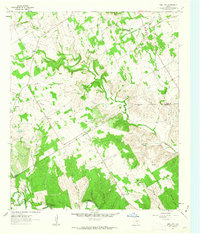
1961 · Hill City
USGS Topo · 1:24,000
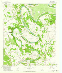
1961 · Nemo
USGS Topo · 1:24,000