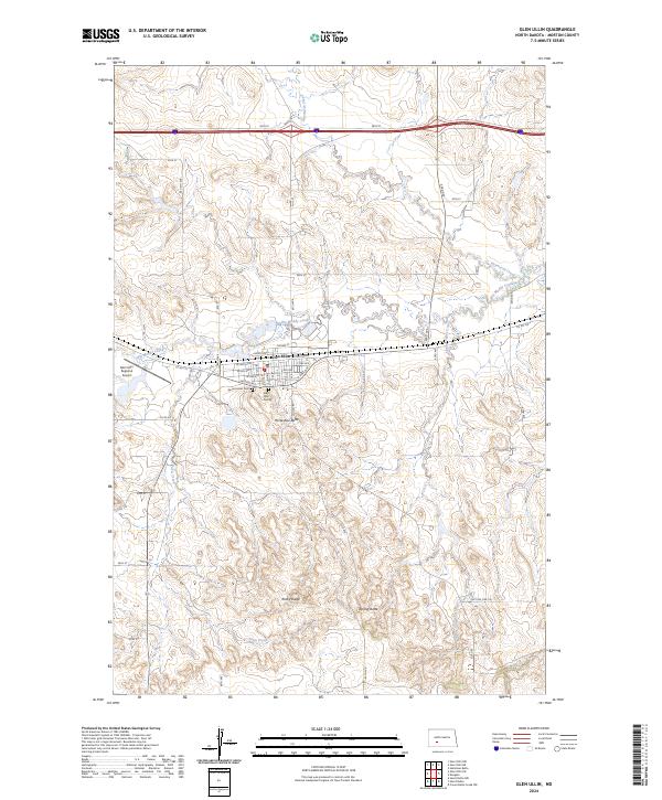
2024 Map of Glen Ullin
USGS Topo · Published 2024About this map
Glen Ullin serves as the central hub of this Morton County landscape, where a grid of residential streets including W Ash Ave and E Oak Ave meets the meandering course of Big Muddy Creek. The town's community foundations are evident at the Sacred Heart Ch and the Glen Ullin Cem, while the Glen Ullin Regional Airport to the west marks its modern connectivity. Outside the settlement, the topography is defined by prominent rises such as Horseshoe Butte, Rocky Ridge, and Spring Butte. A complex network of drainage, including Haymarsh Creek and Spring Valley Creek, carves through the section lines, illustrating the intersection of natural hydrology and the rectilinear human survey of the North Dakota plains.
Find a feature on this map
44 named features on this map. Tap any name to fly to it.
Don’t see what you’re looking for? This feature index may not catch every label — zoom into the map to look around manually.
Map Details
Editions of this 2024 Glen Ullin Map
This is the sole edition of this map. No revisions or reprints were ever made.
Other maps of this area

1938 · Heart Butte
USGS Topo · 1:48,000

1944 · Heart Butte
USGS Topo · 1:62,500

1954 · Bismarck
USGS Topo · 1:250,000

1958 · Bismarck
USGS Topo · 1:250,000

1960 · Dengate
USGS Topo · 1:24,000

1960 · Glen Ullin
USGS Topo · 1:24,000

1960 · Heart Butte NW
USGS Topo · 1:24,000

1960 · Heart Butte
USGS Topo · 1:24,000

1970 · Hailstone Butte
USGS Topo · 1:24,000

1970 · Glen Ullin NE
USGS Topo · 1:24,000