
1970 Map of Glen Ullin NE
USGS Topo · Published 1972About this map
Coyote Creek and Wilson Creek define the northern drainages of this Morton County landscape during the early 1970s. The terrain is marked by the distinct Eagles Nest Cur Lew formation in the south, while Haymarsh Creek winds through the lower sections of the quadrangle. Several unnamed springs, labeled simply as Spring, dot the hillsides, indicating a reliable water table in a region otherwise characterized by intermittent drainage patterns.
Find a feature on this map
9 named features on this map. Tap any name to fly to it.
Don’t see what you’re looking for? This feature index may not catch every label — zoom into the map to look around manually.
Map Details
Editions of this 1970 Glen Ullin NE Map
This is the sole edition of this map. No revisions or reprints were ever made.
Other maps of this area

1954 · Bismarck
USGS Topo · 1:250,000

1954 · McClusky
USGS Topo · 1:250,000

1958 · Bismarck
USGS Topo · 1:250,000

1958 · McClusky
USGS Topo · 1:250,000

1960 · Dengate
USGS Topo · 1:24,000

1960 · Glen Ullin
USGS Topo · 1:24,000

1970 · Hailstone Butte
USGS Topo · 1:24,000
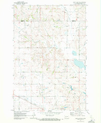
1970 · Glen Ullin NW
USGS Topo · 1:24,000
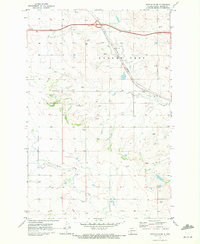
1970 · Glen Ullin SW
USGS Topo · 1:24,000
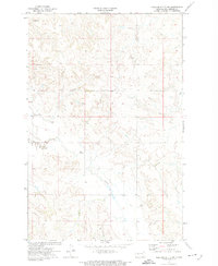
1972 · Medicine Butte SW
USGS Topo · 1:24,000