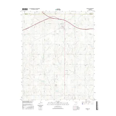
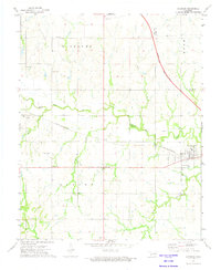
2016 Map of Glencoe
USGS Topo · Published 2016About this map
Glencoe serves as the central hub of this northern Oklahoma landscape, situated at the intersection of local roads and the major corridor of the Cimarron Turnpike. This 2016 survey highlights a complex water management system characterized by several flood control structures, including Stillwater Cr Site 8 Reservoir and Stillwater Cr Site 7 Reservoir. These reservoirs, along with Longbranch Site 1 Reservoir, are integrated into the drainages of Little Stillwater Cr and Council Cr, illustrating modern land use patterns in the region.
Find a feature on this map
58 named features on this map. Tap any name to fly to it.
Don’t see what you’re looking for? This feature index may not catch every label — zoom into the map to look around manually.
Map Details
Editions of this 2016 Glencoe Map
This is the sole edition of this map. No revisions or reprints were ever made.
Other maps of this area
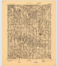
1893 · Stillwater
USGS Topo · 1:62,500
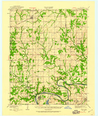
1929 · Ripley
USGS Topo · 1:62,500
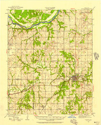
1930 · Pawnee
USGS Topo · 1:62,500
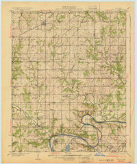
1932 · Ripley
USGS Topo · 1:62,500
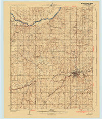
1936 · Pawnee
USGS Topo · 1:62,500

1955 · Enid
USGS Topo · 1:250,000

1958 · Enid
USGS Topo · 1:250,000
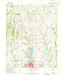
1967 · Stillwater North
USGS Topo · 1:24,000
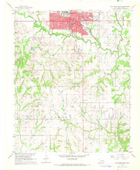
1967 · Stillwater South
USGS Topo · 1:24,000
1972 · Morrison
USGS Topo · 1:24,000