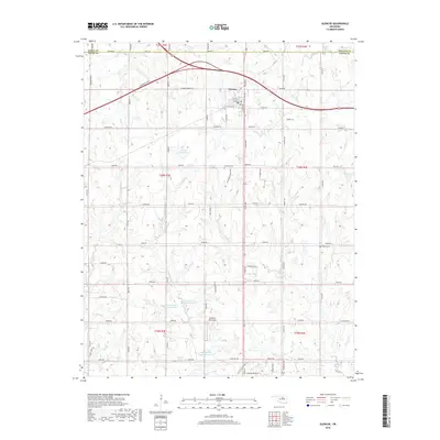
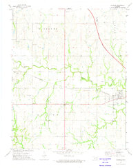
2018 Map of Glencoe
USGS Topo · Published 2018About this map
Glencoe serves as the primary hub in this portion of north-central Oklahoma, where the Cimarron Tpke intersects with local routes like W Main St and Noble Rd. The landscape is defined by an extensive water management system, featuring numerous numbered reservoirs such as Stillwater Cr Site 8 Reservoir and 11903 Reservoir. These man-made features sit alongside natural drainages like Council Cr and Oak Cr, illustrating the region's focus on agricultural water security and flood control. Local history is anchored by the Glencoe Cem and Bethel Cem, providing specific points of interest for genealogists tracing families in the borderlands of Payne, Noble, and Pawnee counties. The presence of the Mulberry Hill Airport south of the main town site further indicates the modern infrastructure supporting this rural community.
Find a feature on this map
66 named features on this map. Tap any name to fly to it.
Don’t see what you’re looking for? This feature index may not catch every label — zoom into the map to look around manually.
Map Details
Editions of this 2018 Glencoe Map
This is the sole edition of this map. No revisions or reprints were ever made.
Other maps of this area
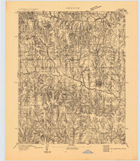
1893 · Stillwater
USGS Topo · 1:62,500
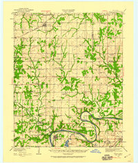
1929 · Ripley
USGS Topo · 1:62,500
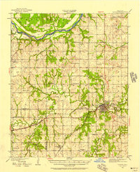
1930 · Pawnee
USGS Topo · 1:62,500
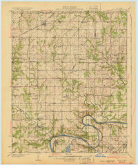
1932 · Ripley
USGS Topo · 1:62,500
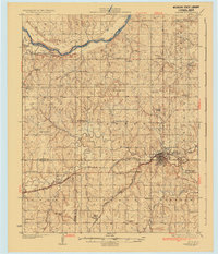
1936 · Pawnee
USGS Topo · 1:62,500

1955 · Enid
USGS Topo · 1:250,000

1958 · Enid
USGS Topo · 1:250,000
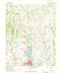
1967 · Stillwater North
USGS Topo · 1:24,000
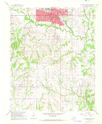
1967 · Stillwater South
USGS Topo · 1:24,000
1972 · Morrison
USGS Topo · 1:24,000