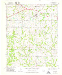
1975 Map of Glencoe
USGS Topo · Published 1979About this map
The town of Glencoe serves as the central hub of this mid-1970s landscape, positioned where the Atchison Topeka and Santa Fe railroad crosses through agricultural terrain north of the Cimarron Toll Road (Turnpike). The map preserves the alignment of the Old Indian Treaty Boundary as it cuts across the southern townships, a significant historical marker for land tenure in Oklahoma. Local life is anchored by rural institutions like Union Home Ch and several burial grounds, including Glencoe Cem, Eberle Cem, and Bethel Cem.
Find a feature on this map
30 named features on this map. Tap any name to fly to it.
Don’t see what you’re looking for? This feature index may not catch every label — zoom into the map to look around manually.
Map Details
Editions of this 1975 Glencoe Map
This is the sole edition of this map. No revisions or reprints were ever made.
Other maps of this area

1893 · Stillwater
USGS Topo · 1:62,500

1929 · Ripley
USGS Topo · 1:62,500

1930 · Pawnee
USGS Topo · 1:62,500

1932 · Ripley
USGS Topo · 1:62,500

1936 · Pawnee
USGS Topo · 1:62,500

1955 · Enid
USGS Topo · 1:250,000

1958 · Enid
USGS Topo · 1:250,000
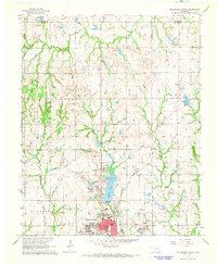
1967 · Stillwater North
USGS Topo · 1:24,000
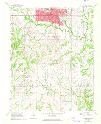
1967 · Stillwater South
USGS Topo · 1:24,000

1972 · Morrison
USGS Topo · 1:24,000