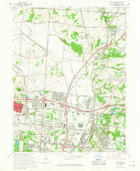
1965 Map of Glendale
USGS Topo · Published 1968About this map
The industrial and residential growth of northern Hamilton and southern Butler Counties is captured in this mid-1960s revision, where the landscape is defined by a dense intersection of historical rail lines and modern interstate development. Rail networks such as the Pennsylvania, Baltimore and Ohio, and New York Central crisscross the valley of Mill Creek, serving established industrial zones like the U S Reservation Sharonville Depot.
Find a feature on this map
95 named features on this map. Tap any name to fly to it.
Don’t see what you’re looking for? This feature index may not catch every label — zoom into the map to look around manually.
Map Details
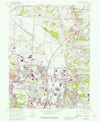
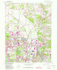
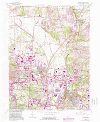
Editions of this 1965 Glendale Map
4 editions found
Other maps of this area

1898 · East Cincinnati
USGS Topo · 1:62,500

1904 · Mason
USGS Topo · 1:62,500

1906 · Mason
USGS Topo · 1:62,500

1914 · East Cincinnati
USGS Topo · 1:62,500

1914 · West Cincinnati
USGS Topo · 1:62,500

1915 · Hamilton
USGS Topo · 1:62,500

1917 · Hamilton
USGS Topo · 1:62,500
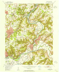
1953 · Madeira
USGS Topo · 1:24,000
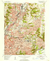
1953 · Cincinnati East
USGS Topo · 1:24,000

1953 · Cincinnati West
USGS Topo · 1:24,000