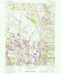
1965 Map of Glendale
USGS Topo · Published 1976About this map
Mill Creek and the East Fork carve through this landscape of mid-century industrial expansion and suburban growth along the Butler and Hamilton County line. The map captures a moment of intense transition where agricultural land in Union and Sycamore townships gives way to massive infrastructure projects. Significant industrial and military footprints dominate the central portion, notably the sprawling U S Reservation Sharonville Depot and the dense rail corridors of the Penn Central and Baltimore and Ohio railroads.
Find a feature on this map
62 named features on this map. Tap any name to fly to it.
Don’t see what you’re looking for? This feature index may not catch every label — zoom into the map to look around manually.
Map Details
Editions of this 1965 Glendale Map
4 editions found
Other maps of this area

1898 · East Cincinnati
USGS Topo · 1:62,500

1904 · Mason
USGS Topo · 1:62,500

1906 · Mason
USGS Topo · 1:62,500

1914 · East Cincinnati
USGS Topo · 1:62,500

1914 · West Cincinnati
USGS Topo · 1:62,500

1915 · Hamilton
USGS Topo · 1:62,500

1917 · Hamilton
USGS Topo · 1:62,500
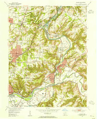
1953 · Madeira
USGS Topo · 1:24,000
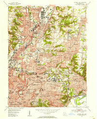
1953 · Cincinnati East
USGS Topo · 1:24,000

1953 · Cincinnati West
USGS Topo · 1:24,000