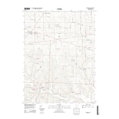
2013 Map of Glenmont
USGS Topo · Published 2013About this map
The village of Glenmont anchors this 2013 topographic study of southwestern Holmes County, where the terrain transitions from the headwaters of Black Cr to the high ground of Buffalo Ridge. The area is characterized by small, long-standing settlements and scattered family operations such as Grassbaugh Dairy Farm, Margandale Farms, and Dar-Re Farm. A dense network of local routes like Township Road 506 and Oh-754 connects these agricultural pockets to the village centers.
Find a feature on this map
109 named features on this map. Tap any name to fly to it.
Don’t see what you’re looking for? This feature index may not catch every label — zoom into the map to look around manually.
Map Details
Editions of this 2013 Glenmont Map
This is the sole edition of this map. No revisions or reprints were ever made.
Other maps of this area

1912 · Loudonville
USGS Topo · 1:62,500

1913 · Brinkhaven
USGS Topo · 1:62,500

1913 · Coshocton
USGS Topo · 1:62,500

1914 · Loudonville
USGS Topo · 1:62,500

1915 · Brinkhaven
USGS Topo · 1:62,500

1915 · Millersburg
USGS Topo · 1:62,500

1915 · Coshocton
USGS Topo · 1:62,500

1943 · Millersburg
USGS Topo · 1:62,500

1943 · Coshocton
USGS Topo · 1:62,500

1943 · Loudonville
USGS Topo · 1:62,500